Project: Satelite images classification
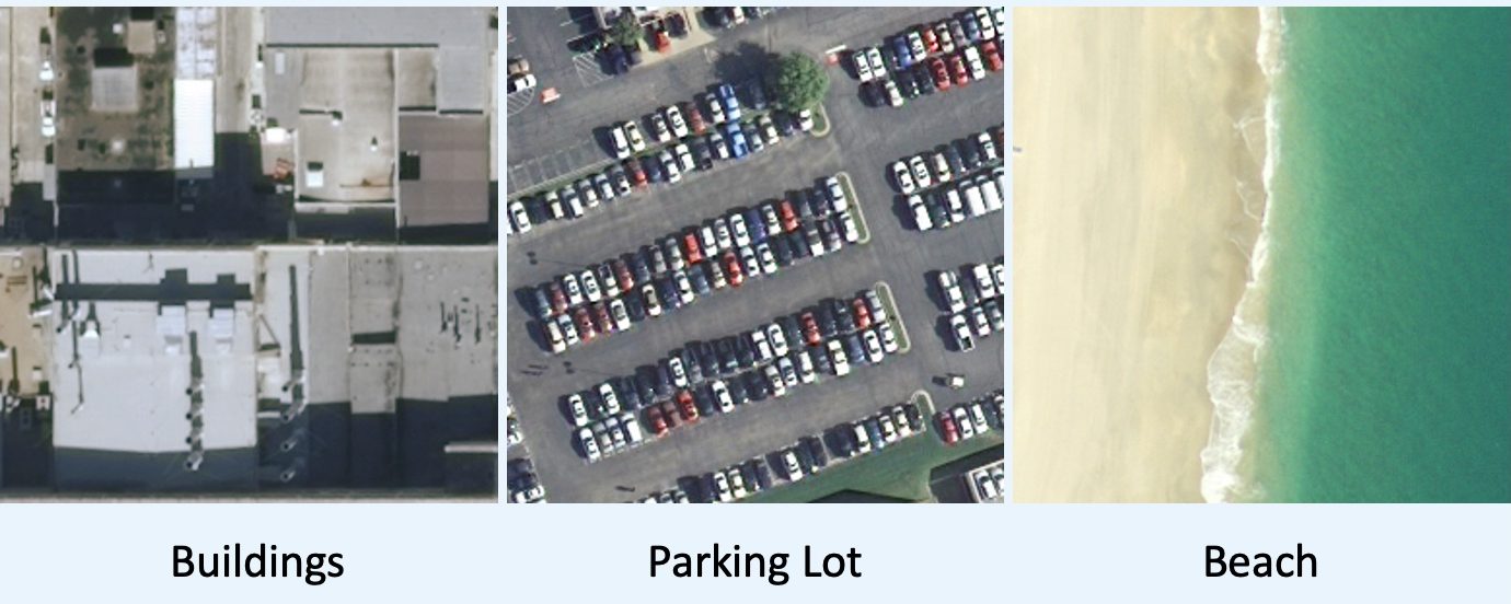
This project developed a satellite image classification system to distinguish between buildings, beaches, and parking lots. Data aggregation was applied and preprocessed to build a diverse training set. A convolutional neural network with transfer learning was used to improve performance on limited labeled data.
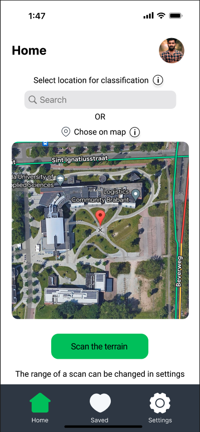
The workflow included model training, evaluation, and error analysis to identify frequent misclassifications and refine preprocessing strategies. To demonstrate practical use, a Figma prototype of a mobile app was created, showcasing how users could interact with real-time classification results.
Skills:
- CNN
- Data augmentation
- Error analysis
- Transfer learning